


THE chance of a white Christmas is looking unlikely for most of us this year.
The Met Office says the unsettled weather in the lead-up to Christmas is forecast to give way to colder, clearer conditions on December 25.
Met Office meteorologist Annie Shuttleworth told the PA news agency: “We could see some snow showers over the hills in northern parts of the UK – it’s probably the most likely place to see any snow.
“You couldn’t rule out some sleety snow further south than that, but there’s a really big question mark on it.”
Read more >> Will it be a white Christmas in Essex this year? Here's what forecasters are saying
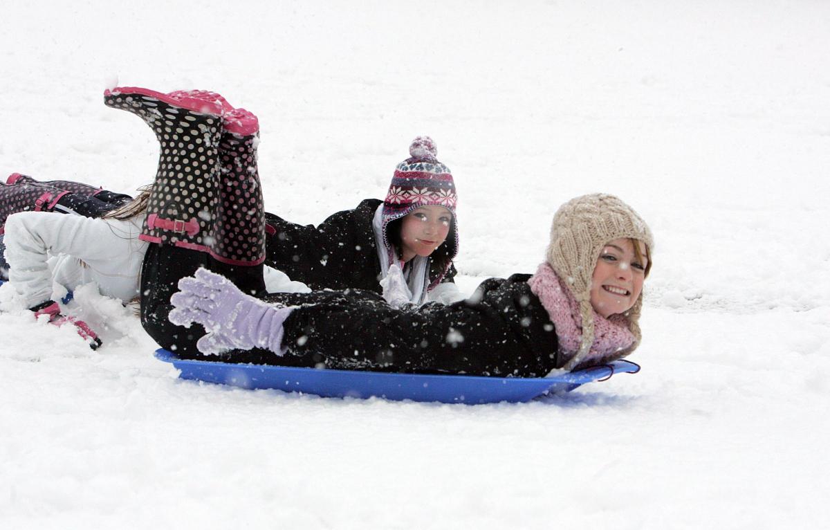
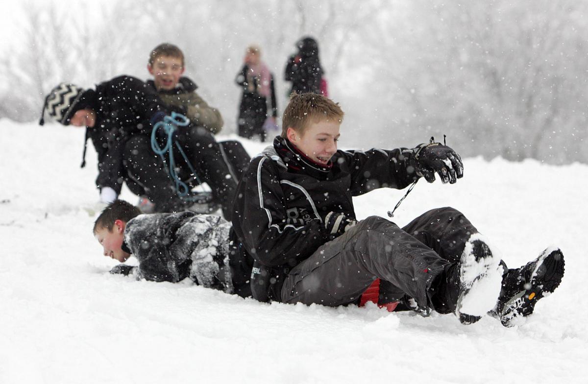
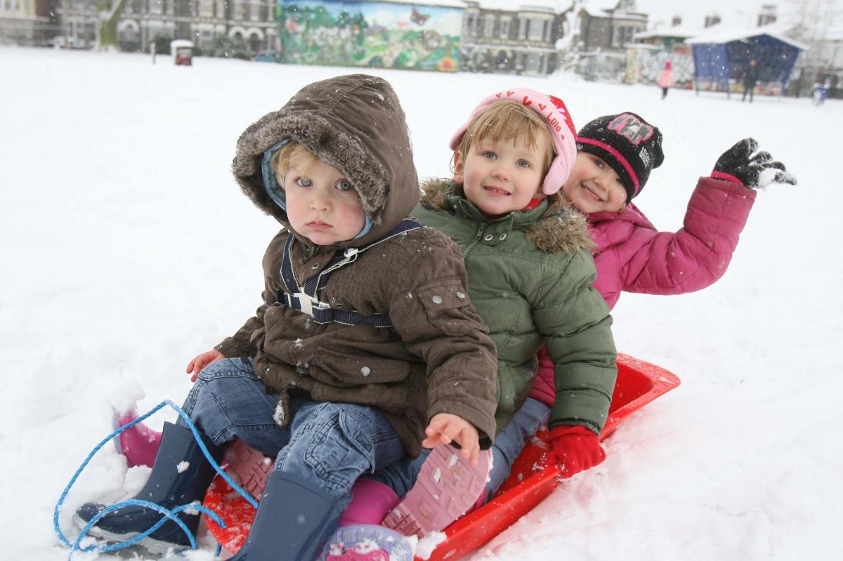
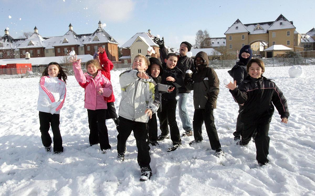
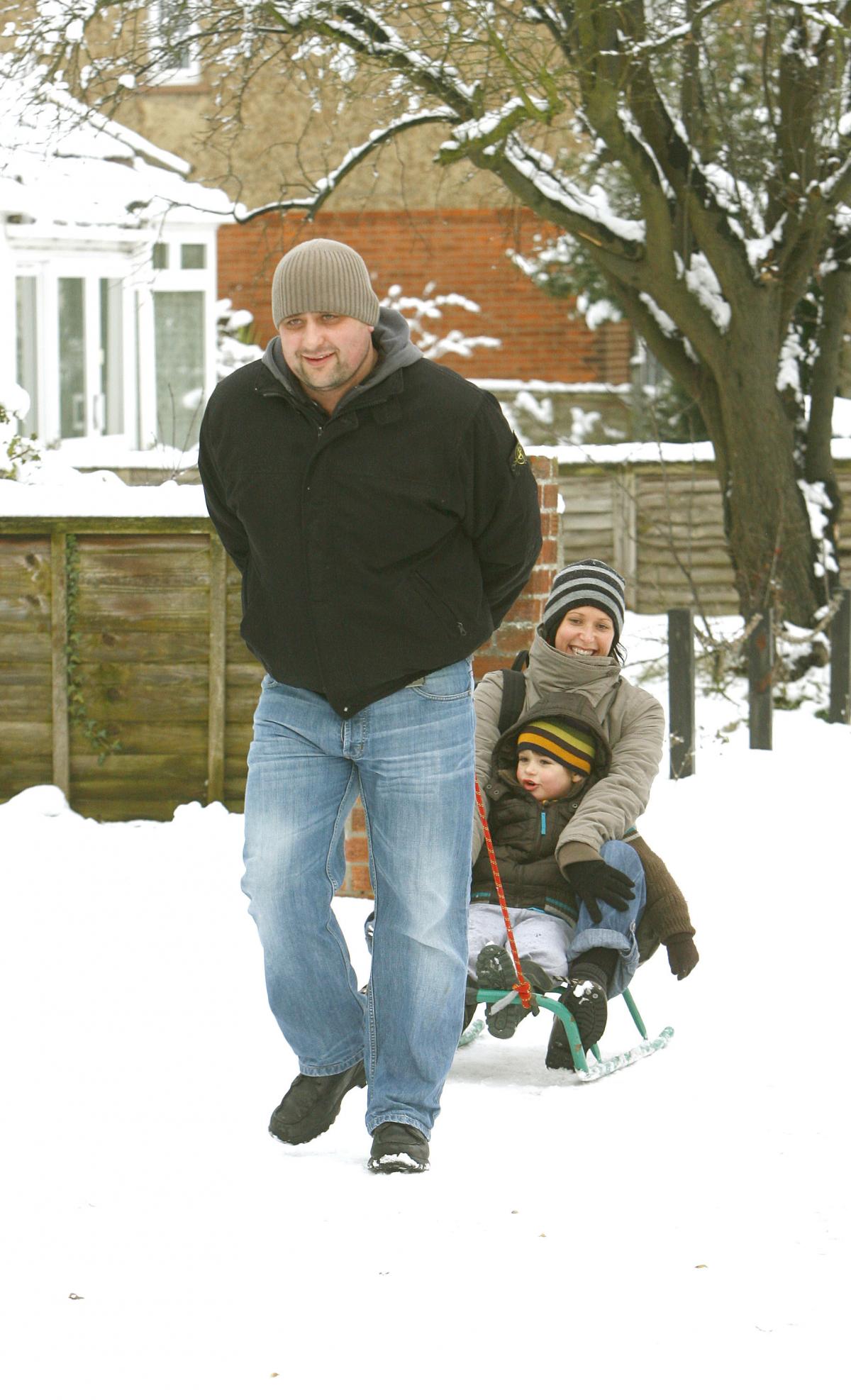
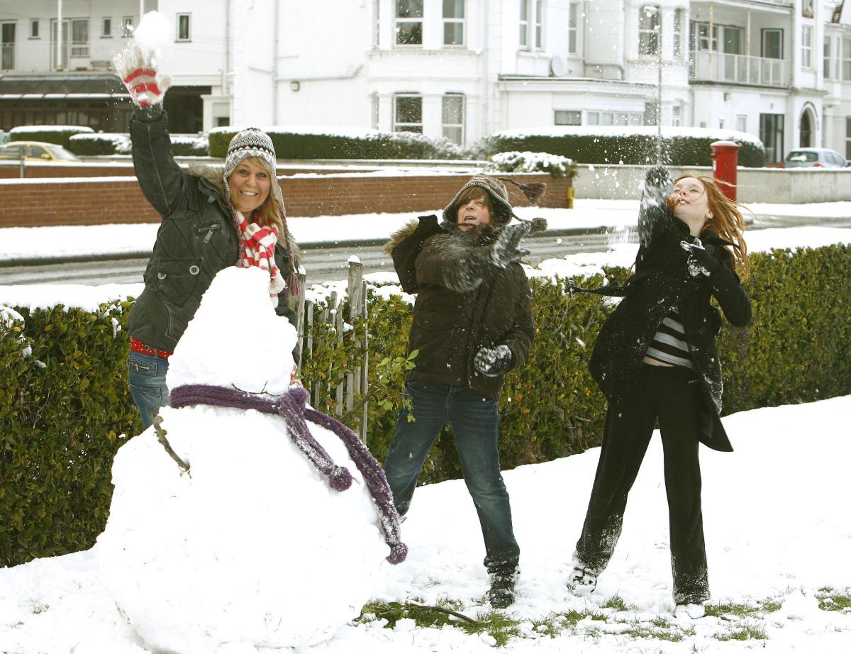
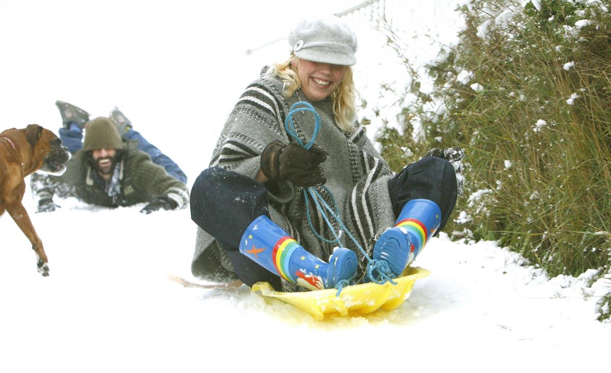
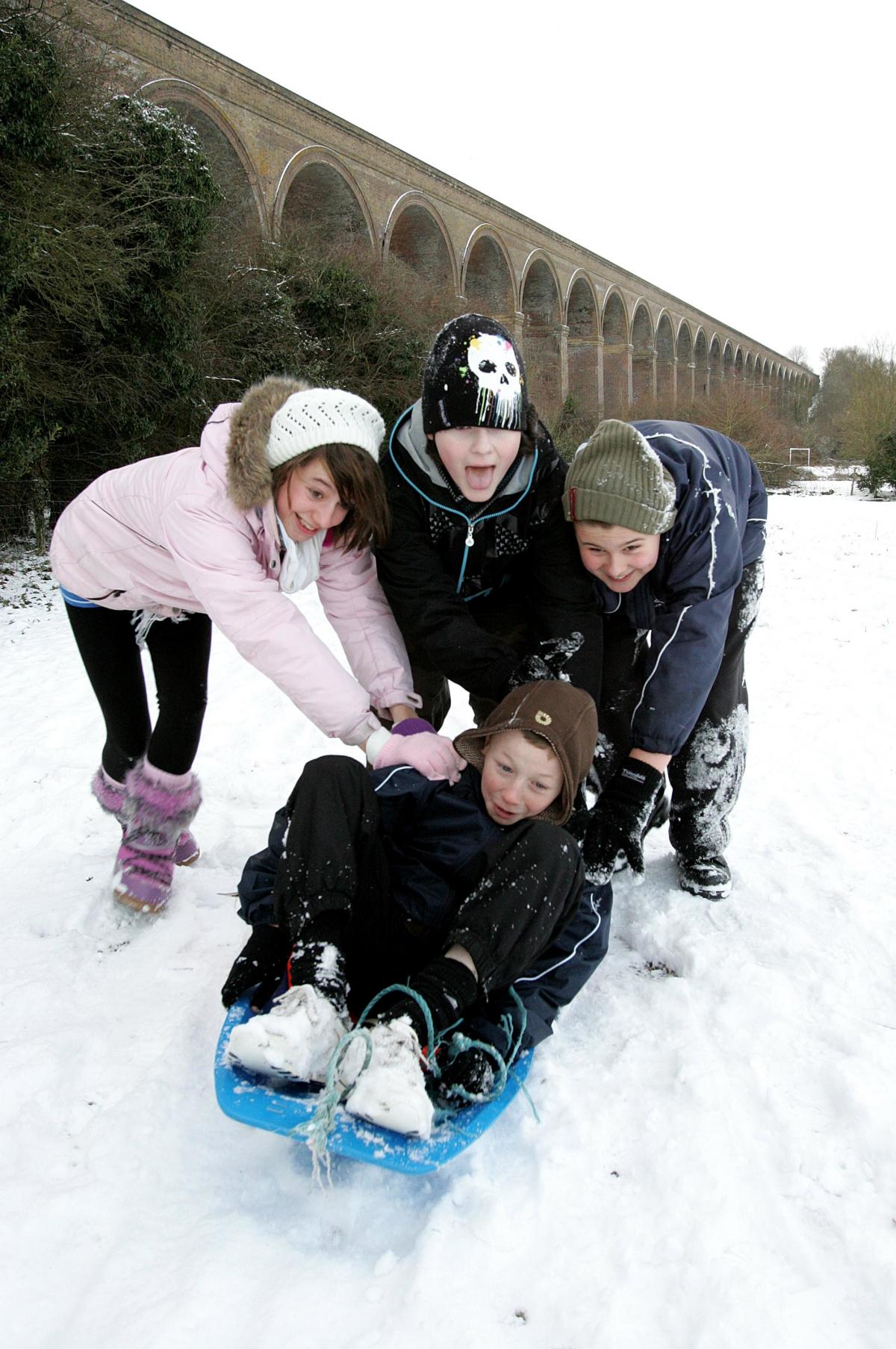
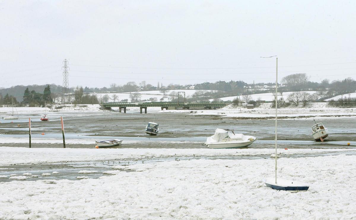
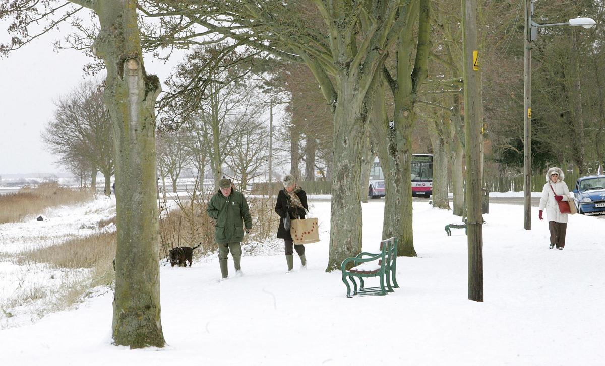
In years gone by we’ve seen our fair share of snow around the festive period - but not much on the day itself.
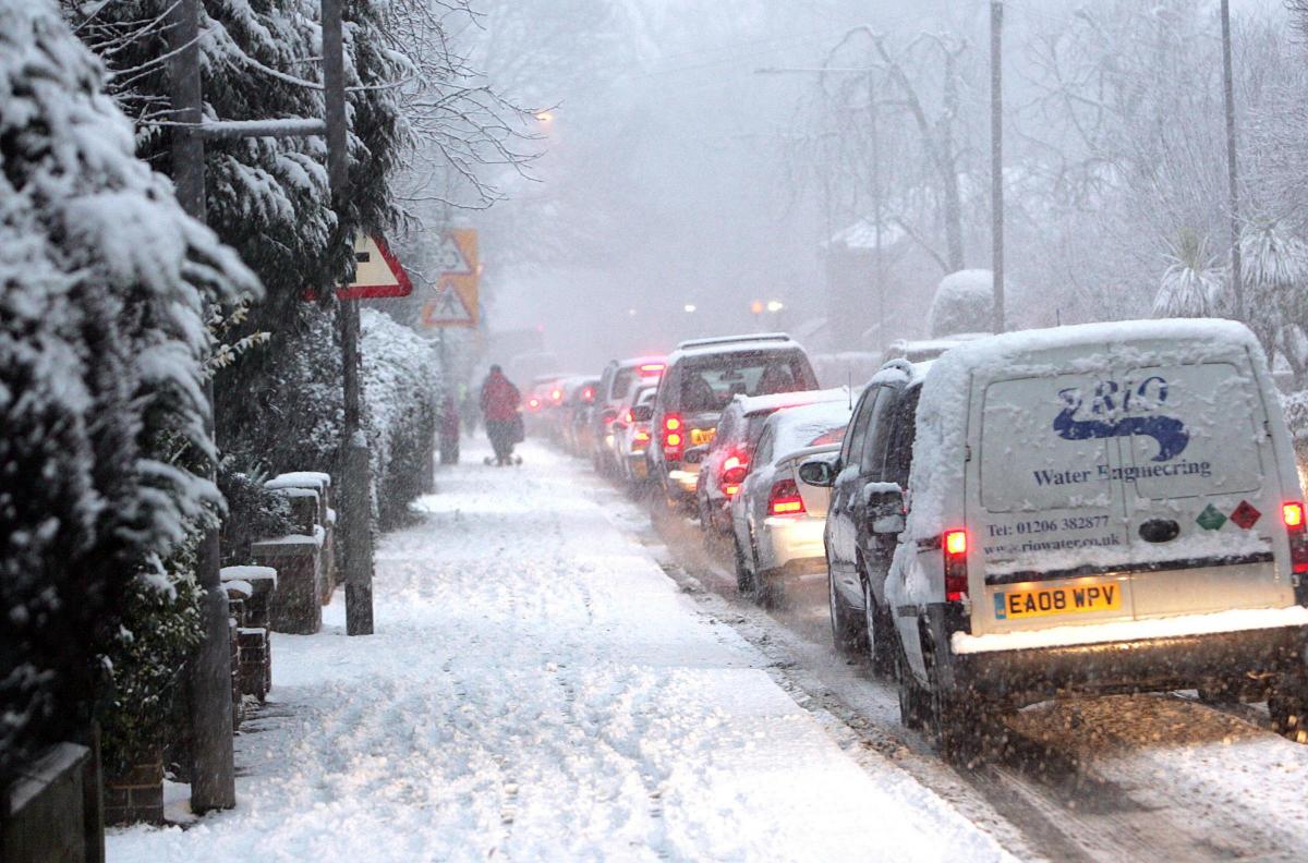
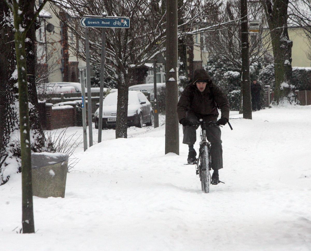
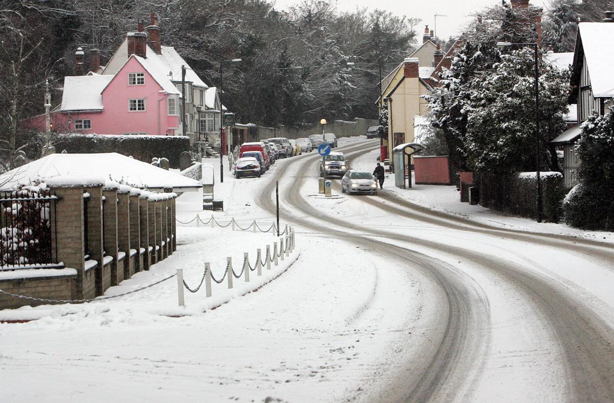
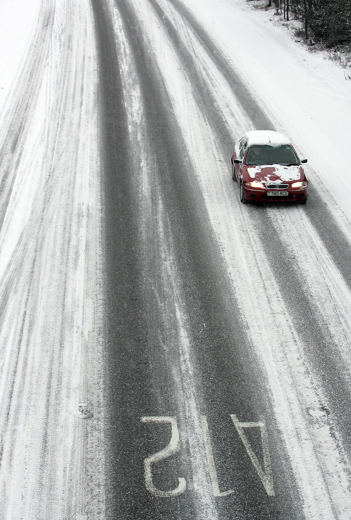
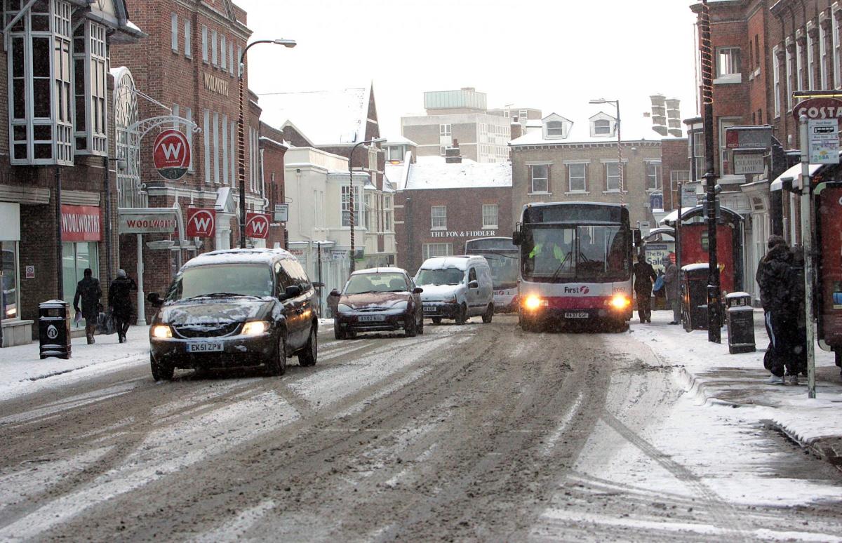
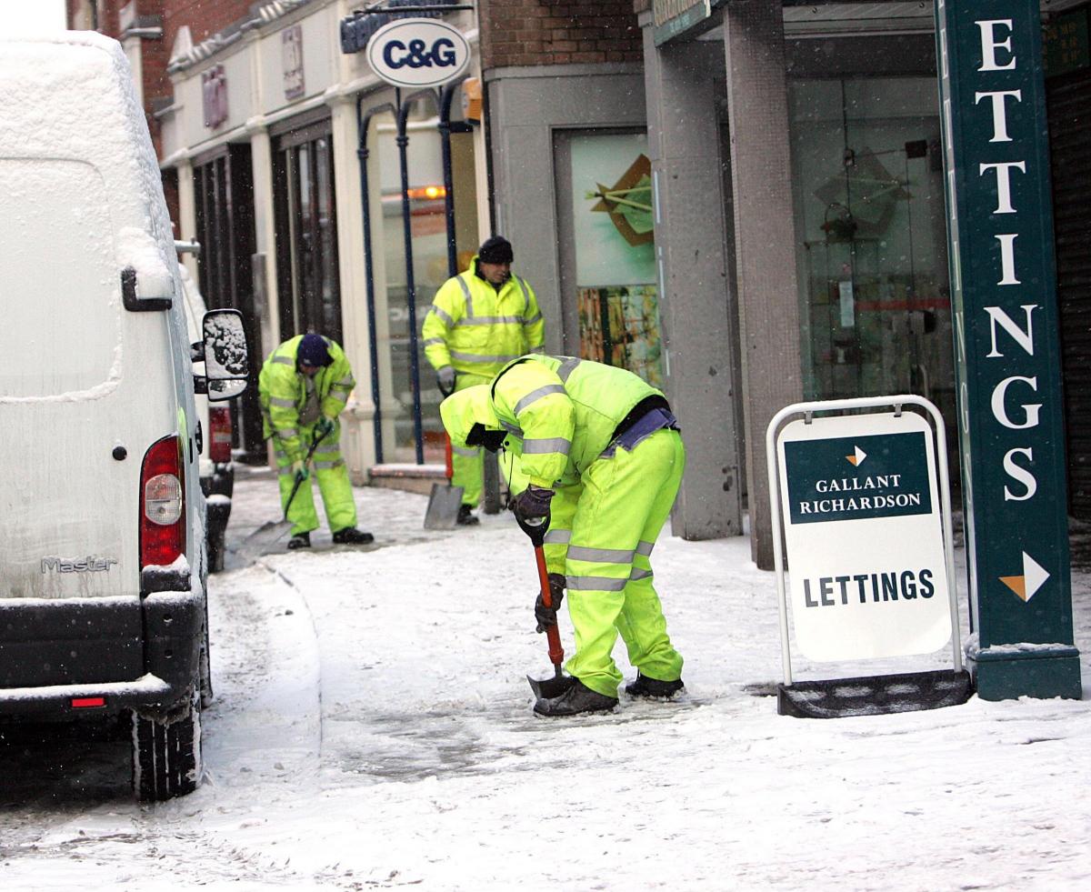
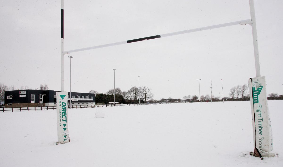
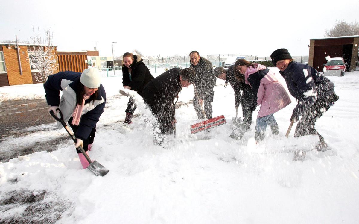
Back in 2009 and 2010 north Essex was experiencing the worst snow it had seen in 30 years.
The first and second week of January caused gridlock on the roads and schools were forced to shut.
Speaking to the Gazette in 2010, weatherman Terry Mayes said the snow was the worst since 1979 when almost 11 inches snow fell on February 13 and 14.
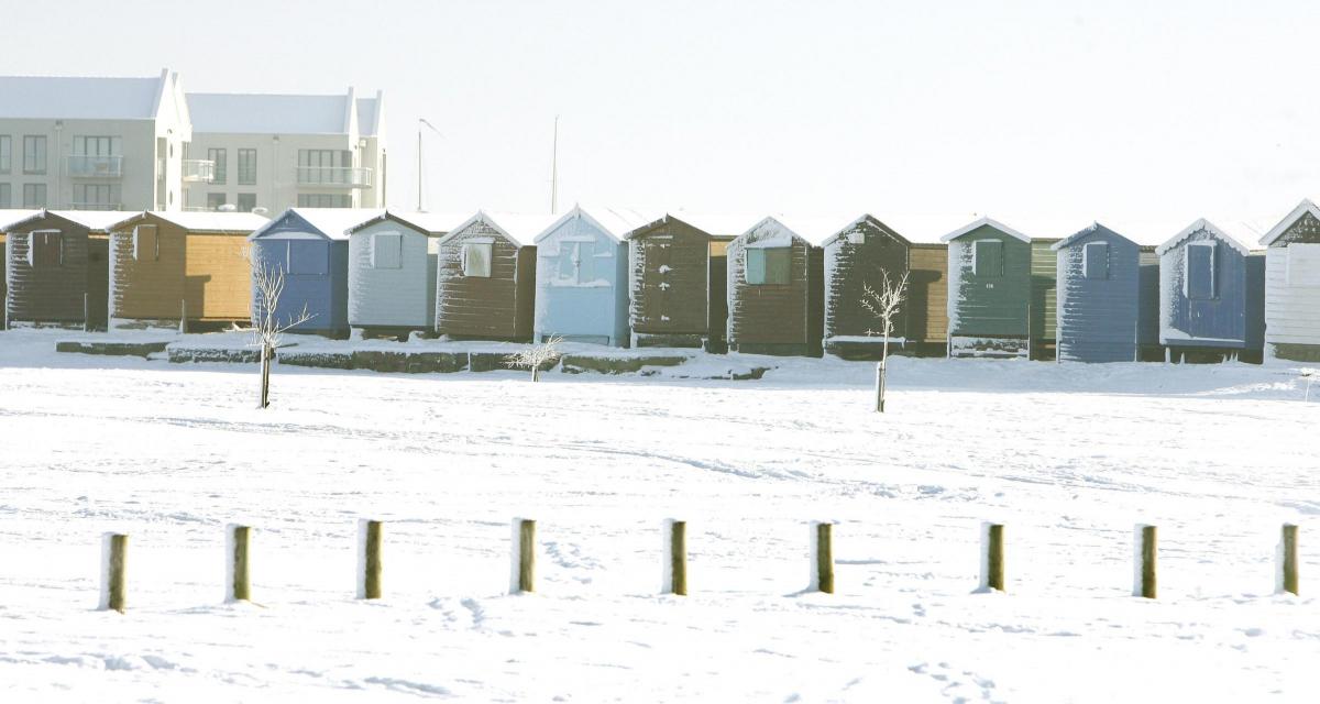
Colchester was hit by a harsh winter again in 1981 when seven to eight inches of snow fell on December 7.
It lay on the ground for more than three weeks until the new year.
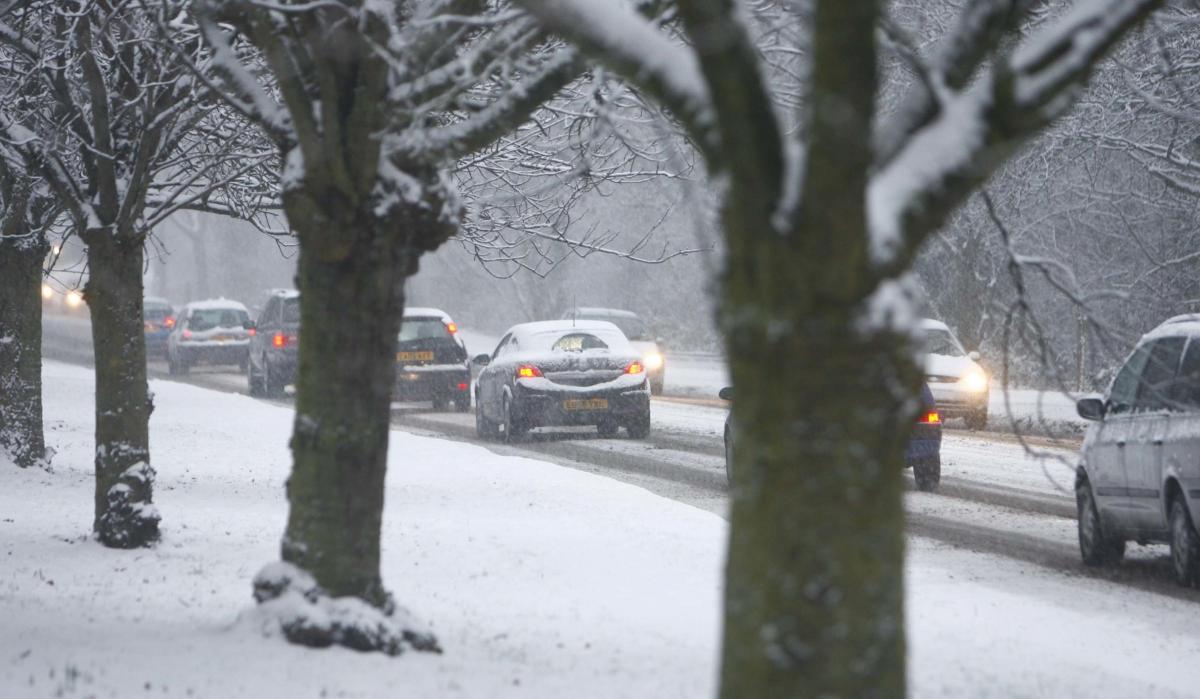
The 2010 cold snap started when temperatures began to dip on December 10.
Four inches of snow fell on December 17, and the sub-zero temperatures continued until the end of the month.
Snow fell again on New Year’s Day and six centimetres of snow fell in one on night on January 6.
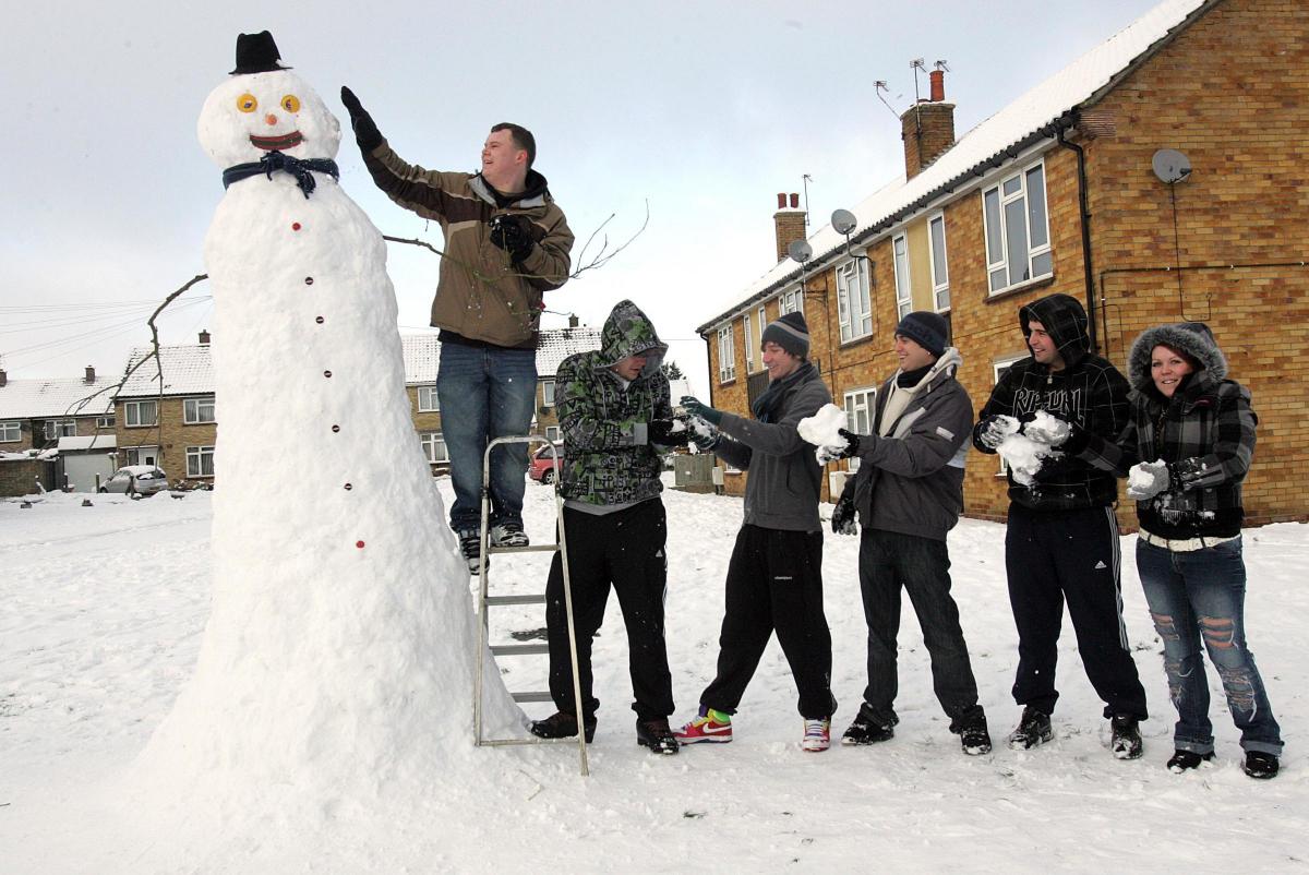
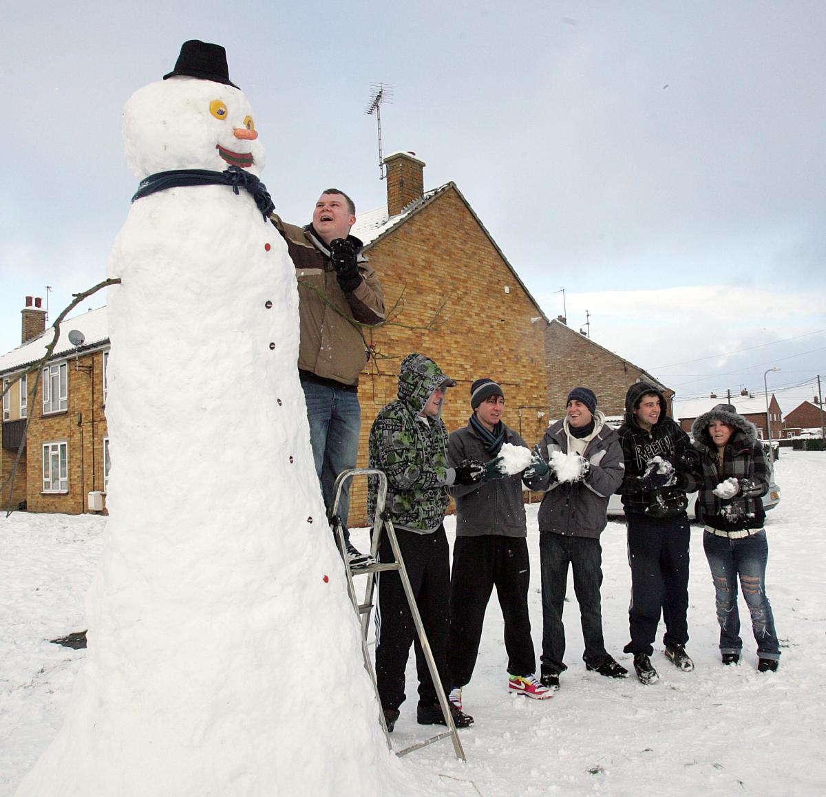
It saw neighbours join forces to build a 11ft tall snowman in Tiptree.


Comments: Our rules
We want our comments to be a lively and valuable part of our community - a place where readers can debate and engage with the most important local issues. The ability to comment on our stories is a privilege, not a right, however, and that privilege may be withdrawn if it is abused or misused.
Please report any comments that break our rules.
Read the rules here